

Shows the whole lot
Frontage, depth, boundaries and the position of the house on the land. The questions a buyer asks first, answered in one frame.
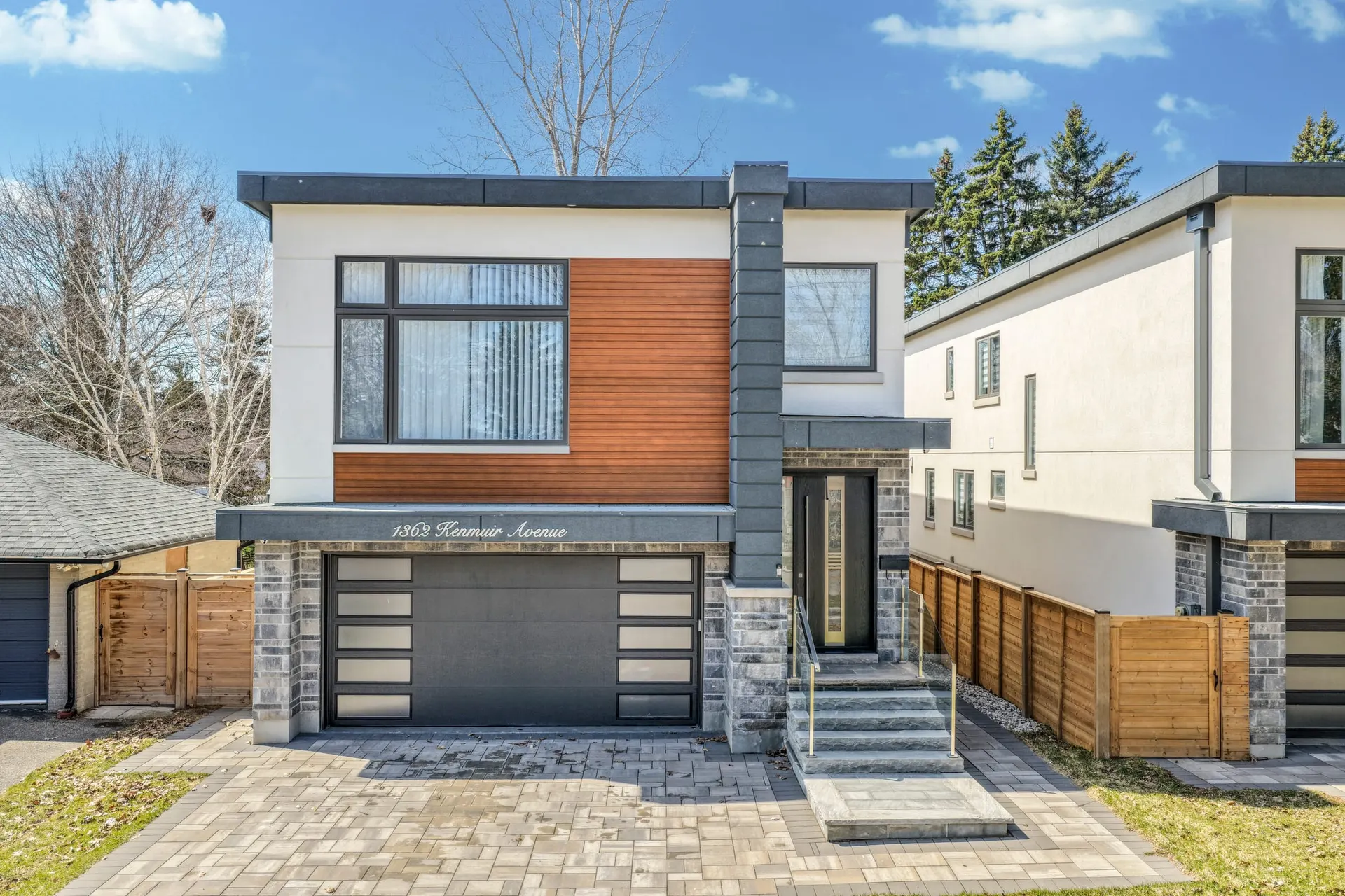
Ground photos sell the house. Aerials sell the land, the lot line, the ravine behind it and the school two streets over.
Aerial photographs that capture the full scope of a property and everything around it. Ideal for large lots, luxury homes, waterfront and ravine properties, and any listing where the location does as much selling as the house.
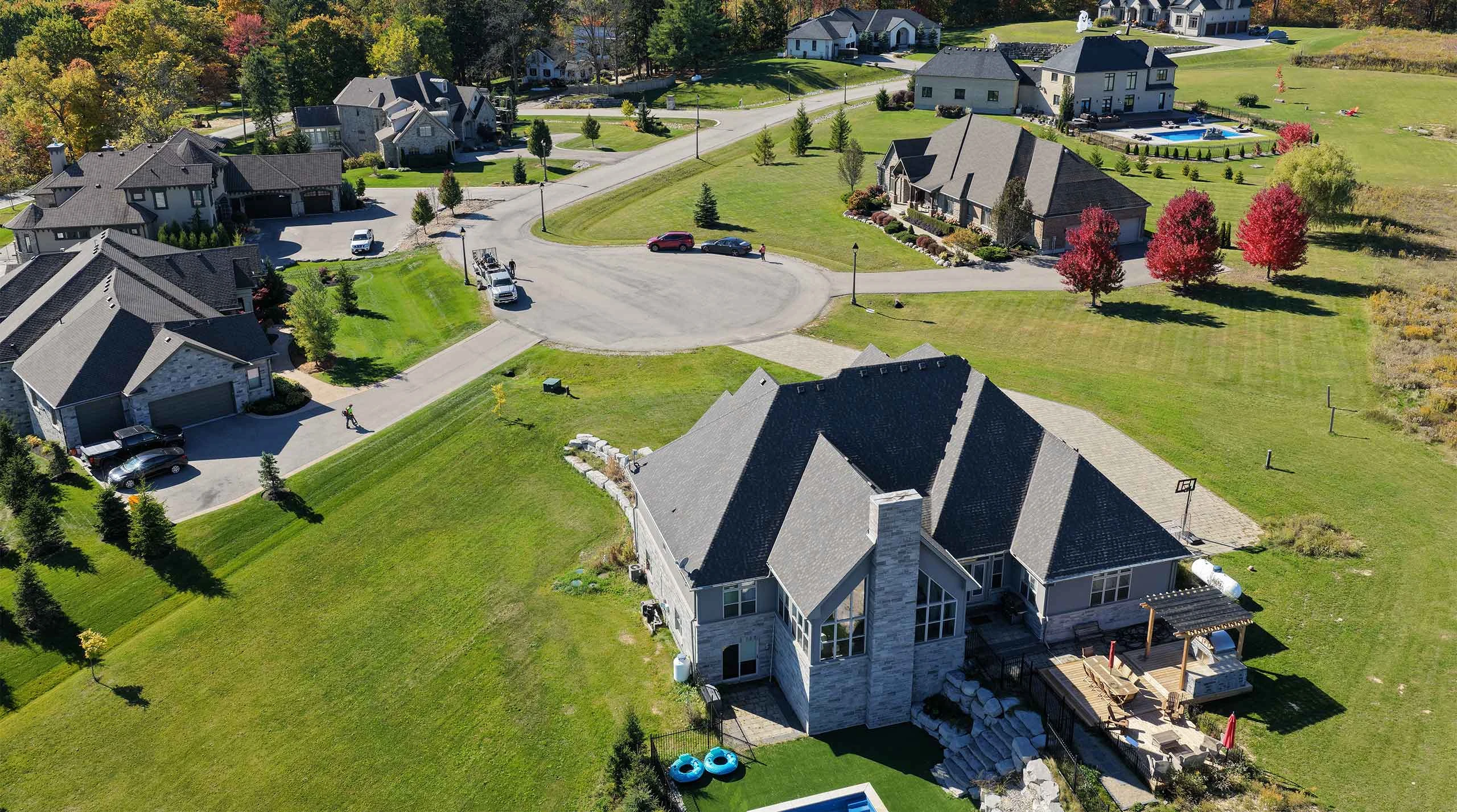
From the air, a buyer sees what a ground photo cannot show: how deep the lot runs, where the boundaries sit, how the house is placed on the land, and what the property backs onto. Every flight is carried out by Transport Canada certified, fully insured pilots.
Most of the aerials on this page were flown in Mississauga, inside the Pearson control zone, with the NAV CANADA authorization pulled for each address before the shoot. They sit on top of the real estate photography every package starts with: on a listing where the lot is the story, the aerial is what proves it.
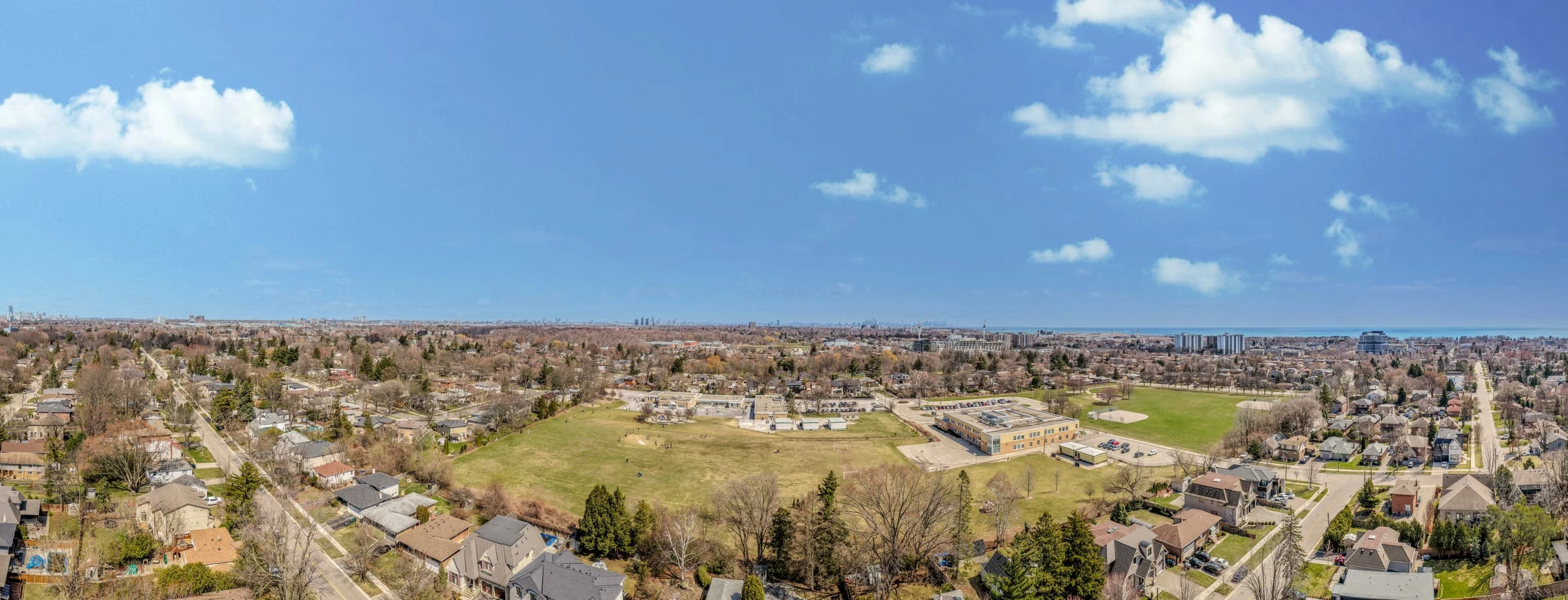
Frontage, depth, boundaries and the position of the house on the land. The questions a buyer asks first, answered in one frame.
Parks, water, ravine, transit and schools become part of the listing instead of a line in the description.
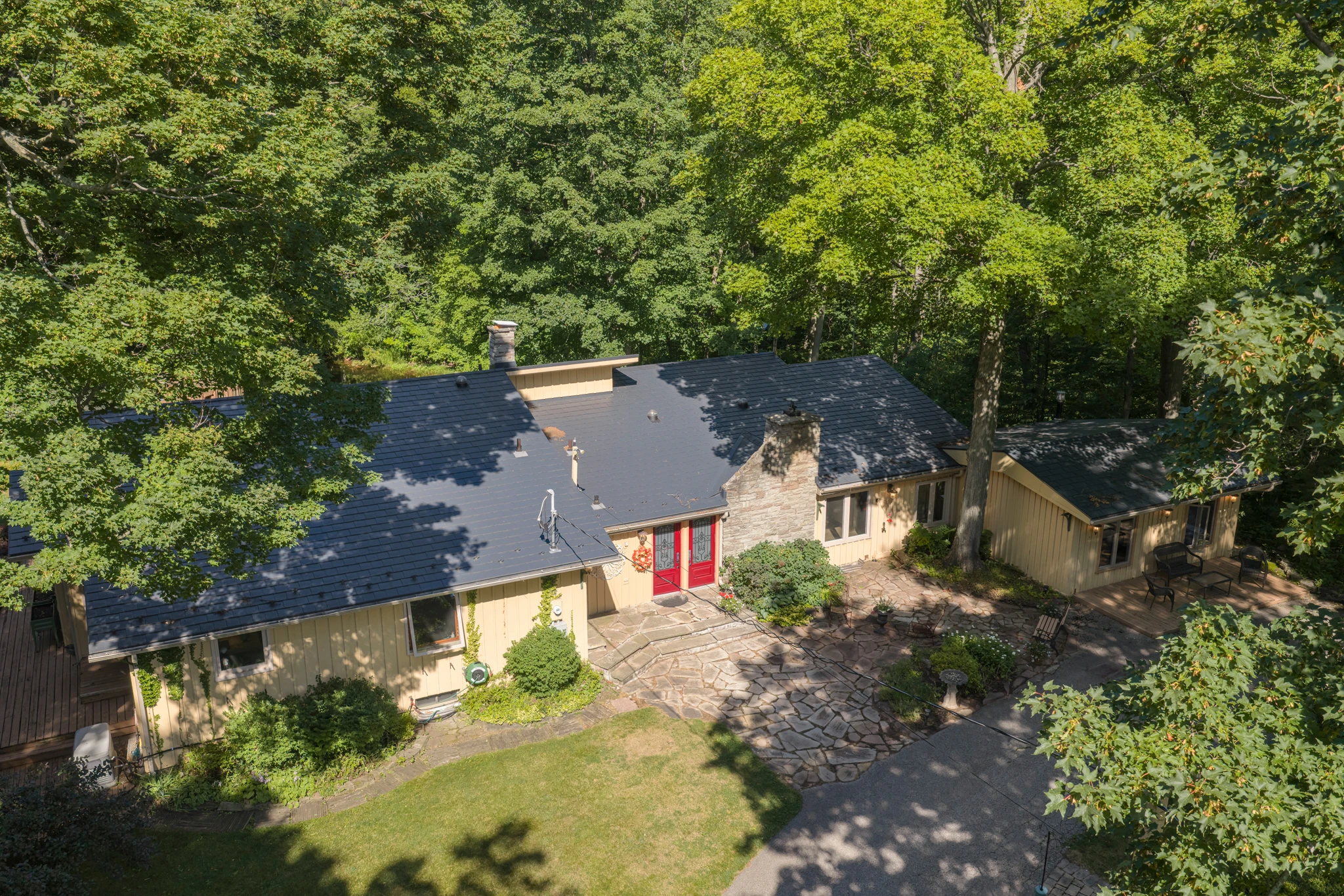
Rooflines, pools, terraces and rear yards read properly from thirty metres up and barely register from the sidewalk.
Every flight is by a Transport Canada certified, fully insured pilot operating within Canadian airspace rules, including the controlled airspace across much of the GTA.
An aerial lead image separates a listing from the phone photos above and below it in the feed.
The same flight covers the frames you need for the feature sheet, the social carousel and the neighbourhood section of the listing.
Before the shoot we confirm the site against Transport Canada airspace rules and secure authorisation where the property sits in controlled airspace.
On site we plan the passes: frontage, top-down lot, rear elevation and the wider context frames, sequenced around the light.
Stills are shot at multiple altitudes and angles so there is a choice of hero frame rather than a single attempt.
Aerials are graded to sit beside the ground photography and delivered with the rest of the set.
Aerial photos start at $99 added to any booking. Package 2 starts at $279 and already includes them alongside the photo set and virtual tour, which is the better value if the listing needs all three.
Yes. All our pilots hold Transport Canada certification and are fully insured for commercial drone operations.
Most of the GTA sits in controlled airspace around Pearson and Billy Bishop. We check every site in advance and obtain the required authorisation, so the flight is legal before we arrive. A small number of restricted locations cannot be flown at all, and we will tell you before you book.
Aerial work needs safe wind and visibility. If conditions ground the flight we complete the ground photography as planned and return for the aerials rather than delivering compromised frames.
Yes. Professional interior photography is in every package; aerial drone photography is included from Package 2 up, or can be added to any booking from $99.
Pick a package or add this service on its own in the booking form. The price updates as you go.