
Lake and escarpment as context
Very few GTA municipalities have both. A frame that shows how close a Roseland or Shoreacres property sits to the water, or how a Tyandaga home sits against the escarpment, makes an argument no interior shot can.
Lakefront at one end, escarpment at the other. Burlington has more genuine landscape to work with than almost anywhere else we shoot.
Burlington has something most of the GTA does not: real landscape on two sides. The lake sits at the southern edge, the escarpment rises behind the northern neighbourhoods, and between them is a walkable downtown that has been steadily adding inventory.
That matters for listing media because the setting is genuinely part of the product here, and setting is exactly what conventional photography leaves out. A well-shot interior set tells a buyer what the rooms look like. It tells them nothing about the fact that the house is four streets from the waterfront, or that the rear yard backs onto the escarpment.
A large share of Burlington listings are being weighed against Oakville alternatives by the same buyers, and the argument is almost always some version of “more property for the money.” That is a claim best made visually rather than in the listing remarks.
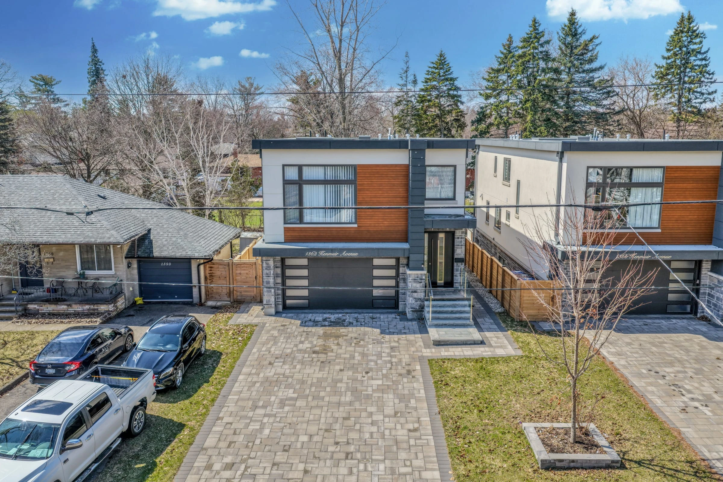
An aerial showing the lot depth does it directly. So does a floor plan, which converts square footage from a number in the description into a layout a buyer can evaluate. Both are more useful on a Burlington listing than an additional three interior frames would be.
Worth flagging, because it catches people out. Burlington sits between Hamilton International to the southwest and the smaller Burlington Executive field to the north, and the practical effect is that drone availability changes noticeably from one part of the city to another. Aldershot is not Alton Village in this respect.
We check the specific address when the booking comes in and tell you what is possible before you commit to a package that includes aerials. That is a better outcome than discovering on the shoot day that the flight cannot legally happen.
The mid-rise inventory around Brant Street and the waterfront is the part of the Burlington market where the landscape argument is made from inside the property rather than from above it. The lake is not context here. It is the view out the window, and it is a substantial part of what the unit is priced on.
That makes it a bracketing problem. A window wall onto the water carries far more light than the room behind it, and the two common failures are equally costly: flash the room and the view goes white, expose for the view and the interior goes black. Blended exposures keep both, which on a waterfront-facing unit is the whole listing.
Aerials rarely add to these. A floor plan and a Matterport tour usually do, because a buyer comparing three units in the same building is comparing layouts, not photographs.
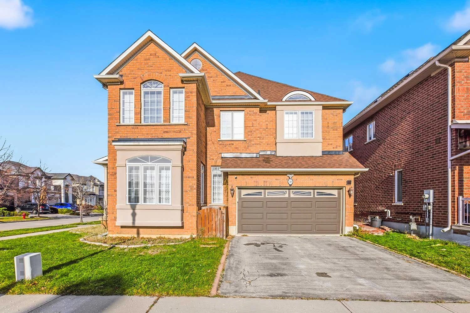
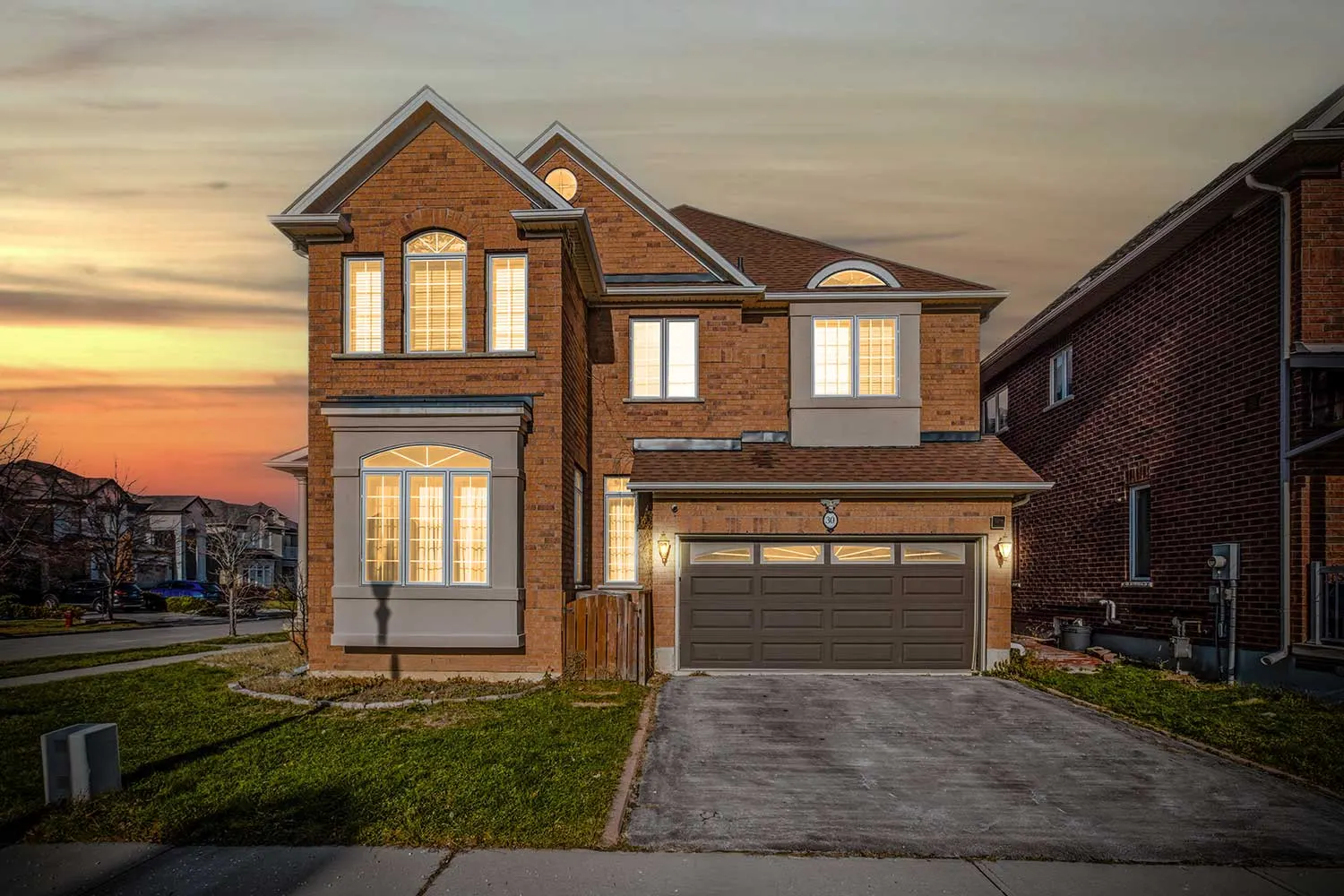
Alton Village, Millcroft and The Orchard are conventional family subdivisions and behave like their equivalents in Brampton or Mississauga: newer stock, thin tree cover, open frontage. The exterior takes full sun, so the direction the house faces decides the slot, and a west-facing façade shot late on a summer afternoon comes back blown out.
The aerial keeps its job here, but for a different reason than it has in Roseland. Up here it is showing lot depth and the rear yard, which is how the “more house for the money” argument against Oakville actually gets made visible.
Burlington competes directly with Oakville for many of the same buyers, usually on the argument that you get more property for the money. That comparison is the whole pitch, and it is a visual one: lot size, lake or escarpment proximity, and the quality of the surroundings. Media that establishes those things is doing the core marketing work rather than decorating it.
Very few GTA municipalities have both. A frame that shows how close a Roseland or Shoreacres property sits to the water, or how a Tyandaga home sits against the escarpment, makes an argument no interior shot can.
Downtown Burlington listings sell substantially on walkability to the waterfront and Brant Street. Establishing that setting is part of the job.
North-of-QEW family homes are frequently competing against smaller Oakville equivalents. Aerials showing lot depth and floor plans showing usable square footage are how that advantage becomes visible.
Not listed? We cover all of Burlington and Halton Region. Send us the address and we will confirm the slot and let you know whether aerials are possible there.
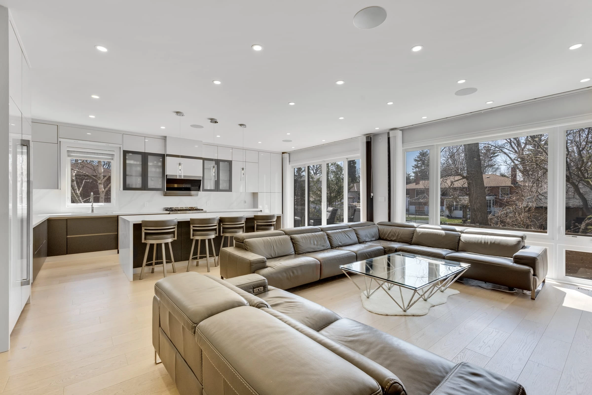
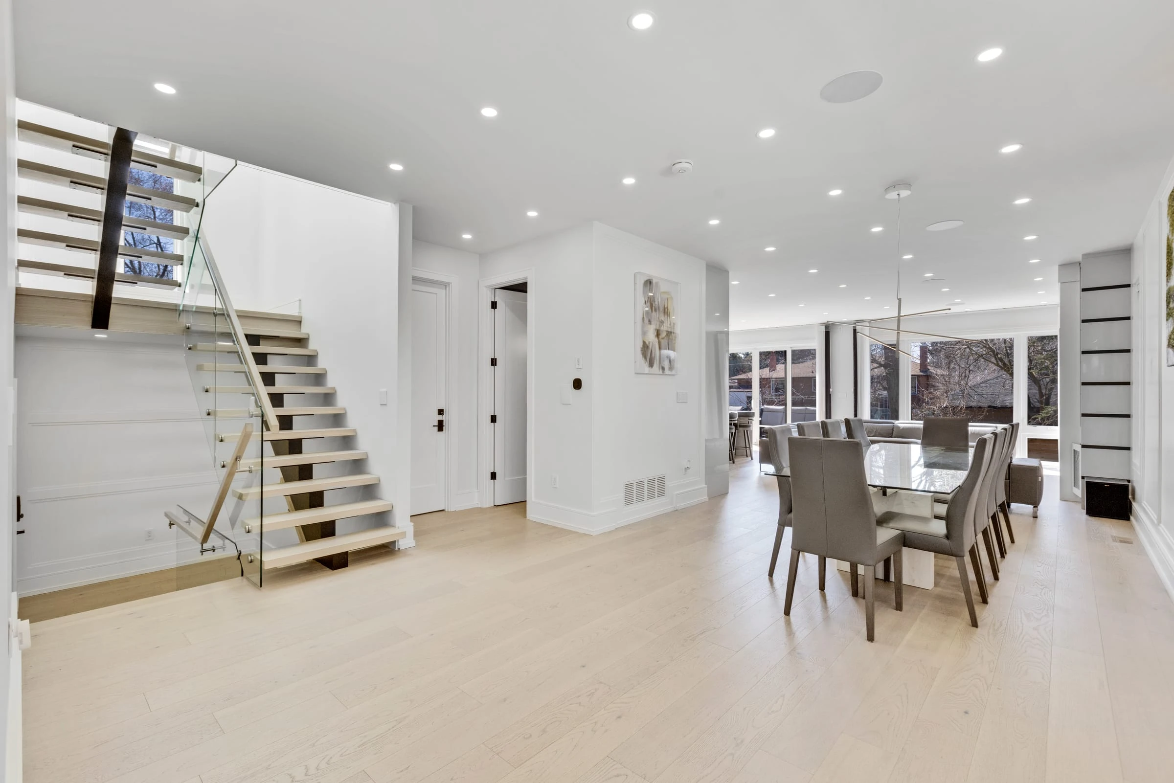
The stills a buyer scrolls past, or stops on. Every room lit, every vertical straight, every window holding its view.
View dedicated page →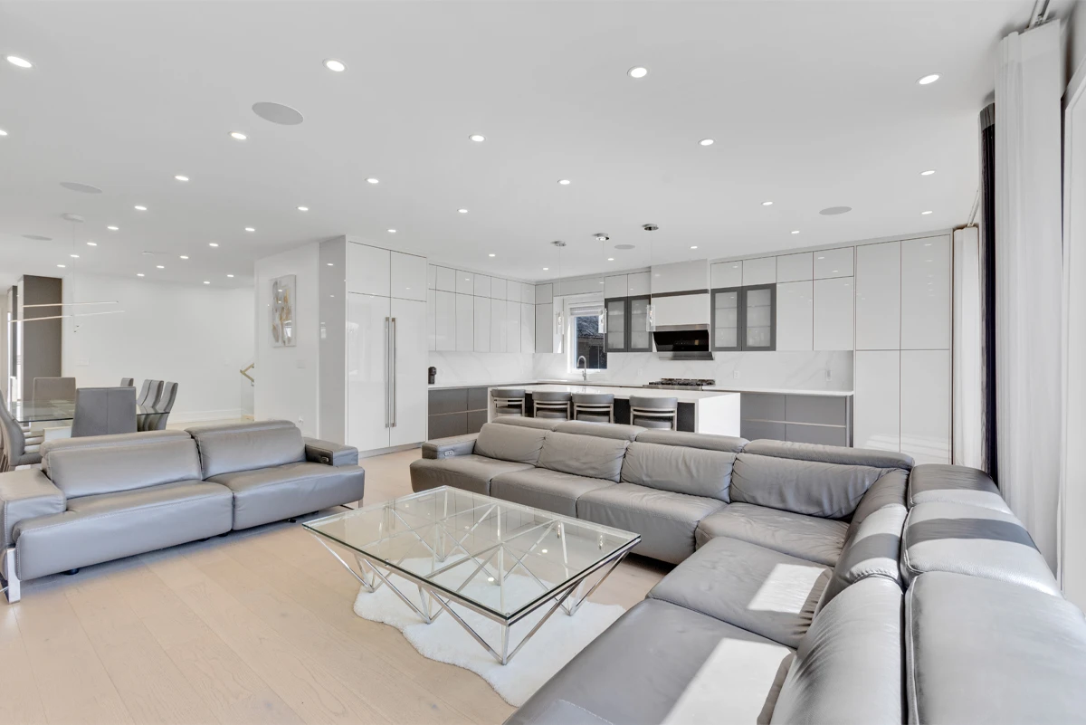
A listing that stays open at 11pm. Buyers walk the whole floor plan from the couch and arrive at the showing already sold on the layout.
View dedicated page →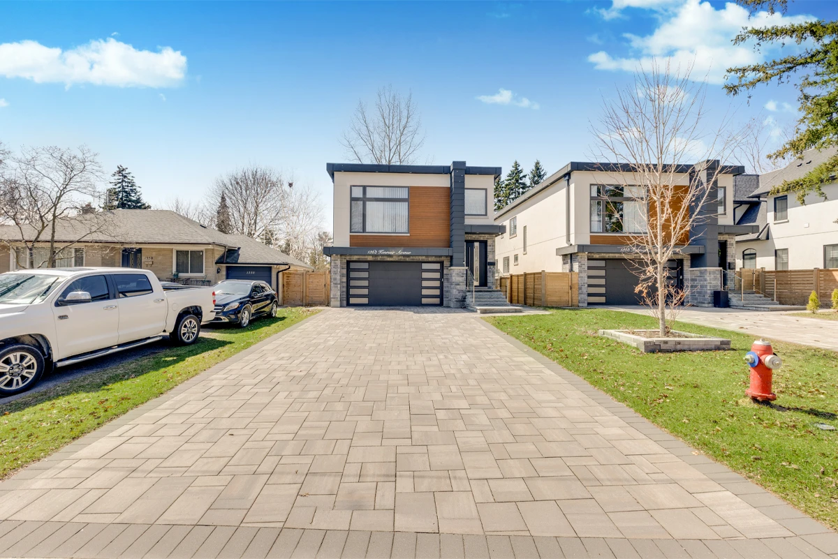
Photos show the rooms. A video shows the walk through them: the light moving, the doors opening, the yard at the end of the hall.
View dedicated page →Starting prices for a home up to 2,000 sq ft, the same in Burlington as everywhere else we shoot. Larger homes are quoted from the booking form as you set the size.
Starting from
$199
InquireStarting from
$279
InquireStarting from
$499
InquireStarting from
$729
InquireStarting from
$999
InquireIn parts of it, and the answer varies more within Burlington than in most cities we cover. Hamilton International to the southwest and Burlington Executive to the north both affect the airspace, so some addresses need a NAV CANADA authorization and a few are impractical. We check before quoting rather than after.
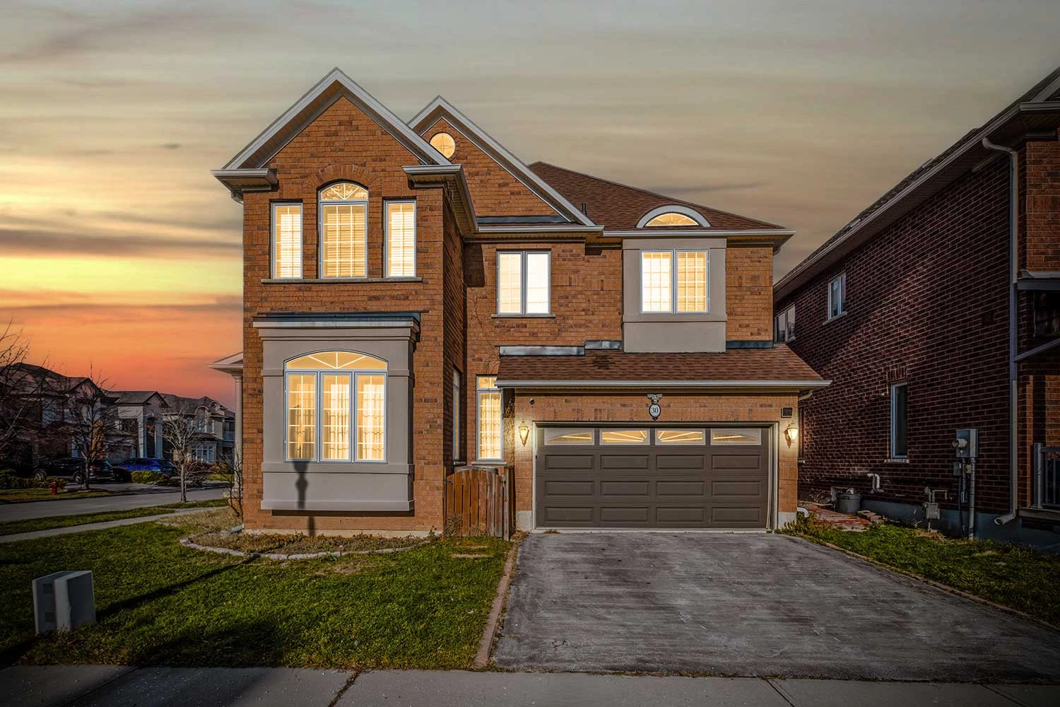
Frequently, yes. Digital twilight, shot in daylight and finished as dusk, is one of the strongest upgrades available on a detached exterior, and it does not require a second visit or a weather gamble. On lakefront-adjacent and escarpment properties it works particularly well.
Aerials and a floor plan, mostly. The advantage is usually lot size and usable square footage, and neither of those is visible in a standard set of interior frames. An aerial showing the depth of the property and a floor plan showing the actual layout make the comparison concrete.
No. Pricing is the same across our coverage area, and Burlington is a straightforward run down the QEW from our base.
From $199 for photos and a virtual tour, $279 with aerials where the airspace allows them, and $499 for the full set with video and a floor plan. Those are the rates for a home up to 2,000 sq ft, and larger homes are quoted from the booking form. Burlington is twenty-five to thirty-five minutes from our base, so same-week slots are normal. Photos come back the next day, video within 48 hours, floor plans and everything else within 72.
Same pricing, same turnaround, and the same answer on airspace, checked against your address rather than your municipality. If the listing sits on a boundary, start with whichever page is closer.
Send the address and we will come back with a slot, a price and a clear answer on whether aerials are possible there.